In Spain, more and more people choose to do outdoor activities. The practice of MTB (Mountain Bike or Mountain Biking) along with hiking have been the sports that have grown the most in the last decade, especially during the summer of 2020. In fact, the mountain bike or mountain bike as it is known in Latin America is, as its name indicates, a type of bicycle that has been designed for trips in mountainous terrain, even those close to the city such as the wonderful routes that we can find them in Madrid and Barcelona, with great views of the city.
Many athletes affirm that, precisely, the full suspension bicycle for MTB represents the most important technological advance of the 20th century as far as cycling is concerned. This bike offers riders better maneuverability and, along with it, the ability to reach rocky places and uneven terrain that were previously inaccessible on a traditional bike. In this way, mountain biking is nowadays considered a popular risk sport among sports lovers. Specifically, it is a competition cycling carried out on natural circuits, generally on narrow paths in mountains and forests, with steep slopes and very fast descents.
At The Indian Face we want this growth to never end, so we help you plan your getaways with your MTB offering you 10 routes that you can take within Madrid and Barcelona. You can't miss them!
DISCOVER SOME OF THE BEST MTB ROUTES IN BARCELONA AND MADRID!
THE BEST BARCELONA ROUTES
Tibidabo – Can Borni Viewpoint Circular route from Catalonia.

Tibidabo is, at 512 meters above sea level, the highest peak in the Collserola mountain range, in Barcelona. It is not surprising that the people of Barcelona themselves baptize it as the magic mountain. It is popular for its history, its nature and the fun that this mountain offers.
Along this route you will be able to see places such as the Expiatory Temple of the Sacred Heart, which is a church located on the Tibidabo mountain, a work created by the architect Enric Sagnier i Villavecchia, began in 1902 and ended in 1961. It belongs to the archpriesthood of Sarrià. To the right of the imposing temple you can still see the primitive hermitage that was built on the site in 1886, when there was still nothing around it.
Another point of interest that you will find if you do this route is the Vallvidrera Reservoir, which is a Spanish hydraulic structure built at the head of the Vallvidrera stream, the most important water course in the Collserola mountain range, which collects the rains from a territory of about 135 hectares of this mountain range.
This circular route has a high difficulty. A good physical condition is required in addition to previous MTB experience to complete it successfully. You may have to push the bike in some sections.The estimated time of the route is just over 3 and a half hours, traveling at an average speed of 12 kilometers per hour. The total distance of the tour is about 43 kilometers.
Estimated time of the route: 3:40 hours (at an average speed of 12 km/h).Distance: 43 km.
Ascent: 1090 m.
Descent: 1090m.
Waypoints:
- Catalonia
- Temple of the Sacred Heart of Jesus
- Tibidabo
- Can Borni Viewpoint
- Vallvidrera Reservoir
- Sant Gervasi Viewpoint
- Tibidabo funicular viewpoint
- Catalonia
Sant medir – Can Borni Viewpoint Circular route from Muntaner.

The hermitage of San Medir is a sanctuary located in the Collresola mountain range in Sant Cugat del Vallés. The hermitage is of Romanesque origin, although due to the transformations it has undergone, almost no original vestige remains. This building, in addition to containing mural paintings from 70 years ago, is part of the Architectural Heritage of Catalonia.
Along the route you will walk a section of the hazelnut tree path, which links the towns of Santa Coloma de Farners, Brunyola and Anglès. This gets its name from the numerous hazelnut plantations that exist in the area. During the first week of October, the Hazelnut Fair is held in Brunyola, which brings together many people from the surrounding area who are interested in this typical product of the territory
We are facing a route similar to the previous one in terms of difficulty and type of route, but this one is also longer, which will require a lot of resistance and very good physical condition. You can access the starting point of the route by public transport. The estimated time of the route is approximately 5 hours, at an average speed of 11 kilometers per hour. The total distance of the route is 54 kilometers.
Estimated time of the route: 5 hours (at an average speed of 11 km/h).Distance: 54 km.
Rise: 1220 m.
Descent: 1220 m.
Waypoints:
- Sant Gervasi Viewpoint
- Temple of the Sacred Heart of Jesus
- Tibidabo
- Sant Medir
- The Cave
- Camí dels avellaners
- Can Borni Viewpoint
- Tibidabo funicular viewpoint
- Muntaner
Mirador dels Xiprers – La Rierada Circular route from Sant Pau | Two of Maig.

From the Xiprers viewpoint we can see a large part of the Barcelona plain, the Llobregat delta and the mountains that surround it. A few years ago, when the place was restored, some specimens of cypress trees were added to the existing ones, which give the viewpoint its name.
During the tour you will find points such as Can Planas, a farmhouse located in the Baix Empordà in the middle of nature. The town to which it belongs, Fonolleres, is small, cozy and quiet where only about 50 inhabitants reside. In short, it is the ideal place to disconnect from routine and enjoy the surroundings.
The views and the route of this route are spectacular, so we can say that the difficulty of the route is worth it. Of course, if you do not have previous experience with an MTB bike and you do not have a good physical condition and optimal resistance, we do not recommend it. You can also access the starting point of the accessible route by public transport. The estimated time of the route is about 6 hours, carrying an average speed of 10 kilometers per hour. The total distance of the tour is about 60 kilometers.
Additional information about the route:
Estimated time of the route: 6 hours (at an average speed of 10 km/h)Distance: 60 km.
Ascent: 1500m.
Descent: 1500m.
Waypoints:
- Sant Pau/ Dos de Maig
- Tibidabo funicular viewpoint
- Sant Gervasi Viewpoint
- Turo d'en Cos Trialera
- Hiking Path
- Viewpoint of the Xiprers
- Trail
- The Rierada
- Can Planas
- Sant Pau/ Dos de Maig
Sant Gervasi Viewpoint – Vallvidrera Reservoir Circular route from Santa Coloma.

The Sant Gervasi viewpoint was built in 1992, the year Barcelona hosted the Olympic Games. It is also the gateway to the Collserola Natural Park.
The Vallvidrera stream, also known as the Rierada, which is the only permanent watercourse in the Collserola mountain range. Its source is in Vallvidrera, between the Can Pasqual and Can Castellví hills, and over 12 kilometers it makes a 270º turn to flow into the Llobregat river at Molins de Rei. The Rierada is interrupted at the height of the Vallvidrera reservoir, so the water that comes out of its source does not reach the Llobregat, but rather the waters of other tributaries of this stream, such as the Budellera torrent.
The MTB route of Mirador Sant Gervasi from Santa Coloma is not characterized by being an easy route either. After three hours pedaling you will feel that you have overcome a challenge with your MTB. Try to do the tour on a day with good temperatures. The estimated time of the route is approximately a few hours, if you go at an average speed of 13 kilometers per hour. The total distance of the route is 8 kilometers.
Additional information about the route:
Estimated time of the route: 3 hours (at an average speed of 13 km/h)Distance: 38 km.
Ascent: 710 m.
Descent 710m.
Waypoints:
- Santa Coloma
- Tibidabo funicular viewpoint
- Sant Gervasi Viewpoint
- Vallvidrera Reservoir
- Turo d'en Cos Trialera
- Santa Coloma
Sant medir – Can Borni Viewpoint Circular route from Volpelleres.
Throughout this route, which will provide you with landscapes and a connection with nature and your purest “I”, you will find what has become a symbol of the environmental struggle of the municipality of Sant Cugat : Pi d'en Xandri, a unique stone pine that grows in the Torre Negra area, on the Valles slopes of the Collserola mountain range, has become a symbol of the environmental struggle in the municipality of Sant Cugat.
This is another of the most difficult and extensive MTB routes in Barcelona.Very good physical shape and a lot of experience with the bike are required. The estimated time of the route is about 4 hours, carrying an average speed of 11 kilometers per hour. The total distance of the tour is 45 kilometers.
This is another of the most difficult and extensive MTB routes in Barcelona.Very good physical shape and a lot of experience with the bike are required.
Estimated time of the route: 4 hours (at an average speed of 11km/h).Distance: 45km.
Ascent: 910m.
Descent: 910m.
Waypoints:
- Volpelleres
- Pi d'en Xandri (Sant Cugat)
- Sant Medir
- Temple of the Sacred Heart of Jesus
- Tibidabo
- Can Borni Viewpoint
- Sant Gervasi Viewpoint
- Turo d'en Cos Trialera
- Hiking Path
- Volpelleres
Can Borni Viewpoint – Tibidabo Circular route from Can Vidalet.

The Can Borni nursery is located on the Tibidabo mountain, in the Horta-Guinardó district of Barcelona. It was an old nursery for new plants of the Institute of Parks and Gardens of Barcelona and is currently a public garden.
Although this route is characterized by its difficulty, it is also characterized by the views from the viewpoints of Sant Gervasi and Can Borni. The estimated time of the route is about four and a quarter hours, at a speed of 11.5 kilometers per hour. The total distance of the route is 50 kilometers.
Estimated time of the route: 4:15 hours (at an average speed of 11.5 km/h)Distance:50km.
Ascent: 1130m.
Descent: 1130m.
Waypoints:
- Can Vidalet
- Curo d'en Cos Trialera
- Hiking Path
- Sant Gervasi Viewpoint
- Can Borni Viewpoint
- Temple of the Sacred Heart of Jesus
- Tibidabo
- Vallvidrera Reservoir
- Can Vidalet
La Pastora – Pistoles Circular route from Terrassa Est.

Difficult route in MTB.Good physical shape is required.Bike experience is required. You may have to push it in some sections.The starting point of the Accessible Route with public transport. The estimated time of the route is almost four hours, at an average speed of 11 kilometers per hour. The total distance of the route is 40 kilometers.
Estimated time of the route: 3:45 hours (at an average speed of 11 km/h)Distance:40 km.
Ascent : 900m.
Descent: 900m.
Waypoints:
- Terrassa Est
- The Shepherdess
- Pistols
- La Terrassa Est
THE BEST MTB ROUTES IN MADRID
Casa de Campo Viewpoint – King's Bridge Circular tour from Porto. (Moderate)

This route is worth it because from the viewpoint of the Casa de Campo we observe the transition between the natural and the urban landscape, the city that stands out in the background also shows its diversity: Medieval Madrid with its wall, the the Habsburg and Bourbon neighborhood, the city of the development of the Plaza de España, modernist Madrid with the Picasso Tower or the Puerta de Europa. And surrounding everything, the uniformity of the dormitory cities that extend along the periphery.
Along the route you will find places such as the Puente del Rey, which crosses the Manzanares River and connects the Glorieta de San Vicente with the Casa de Campo and Avenida de Portugal. The bridge was built at the beginning of the 19th century, its designer being the royal architect Isidro González. The initial use of the bridge was exclusively royal, providing access from the Royal Palace to the Casa de Campo. In 1931, on the occasion of the opening of the Casa de Campo to the public, the bridge, then called the Republic Bridge, was widened, becoming one of the main access points to the new Madrid public park.
This route is not very difficult, so you can enjoy the route and the views without getting too tired. The estimated time of the route is three and a half hours, at a speed of 1.5 kilometers per hour, and the total distance of the route is 50 kilometers.
Additional information about the route:
Estimated time of the route: 3:30 hours (at an average speed of 13.5 km/h)Distance: 50km.
Ascent: 430 m.
Descent: 430 m.
Waypoints:
- Porto
- Zoo
- Amusement Park Trail
- The corner of the field
- Pine forest in Casa de Campo Circuit
- Aqueduct
- Country House Viewpoint
- King's Bridge
- Madrid Rio
- Porto
Casa de Campo Viewpoint – Puente del Rey Circular route from Las Suertes. (Moderate)

Along the route you will find places of interest such as Madrid Rio, also called La Arteria Verde de Madrid: it is a huge recreational and cultural enclave parallel to the Manzanares river, which, thanks to its renaturation, has returned to have a surprising fauna. Historical monuments and leisure and cultural facilities next to the bed of a river that has recovered its biodiversity by leaps and bounds.
It is the result of a project directed by the architect Ginés Garrido, who won the international ideas competition organized by the Madrid City Council in 2005. The project started with the idea of recovering the banks of the river for the use of citizens. The section that is currently known as Madrid Río is the section of the Manzanares river that was boxed in by the M-30 ring road, a road that isolated the river between the two directions of the highway, as well as being a barrier and fracture between the two sides of the city, the district of Arganzuela on the left side, and the districts of Latina, Carabanchel and Usera on the right side
Moderate route in MTB.Good physical shape is required.For all levels. The starting point of the Accessible Route with public transport.
The estimated time of the route is about 4 hours and a quarter, at an average speed of 15 kilometers per hour. The total distance of the route is 66 kilometers.
Additional information about the route:
Estimated time of the route: 4:15 h (at an average speed of 15.5 km/h).Distance: 66 km.
Ascent: 480m.
Descent: 480m.
Waypoints:
- The Luck
- La Cañada Road
- Country House Viewpoint
- CoC Lake
- King's Bridge
- Madrid Rio
- Toledo Bridge
- Manzanares Park Viewpoint
- The Luck
Passage to Dehesa Boyal – Arroyo Viñuelas Bridge Circular route from Valdelasfuentes.

The Dehesa Boyal de San Sebastián de los Reyes has been known as such since 1493, when it was declared suitable for grazing cattle. The oxen that were there gave the name to the pasture.
This route is simple and pleasant, we recommend this route that starts from Valdelasfuentes. Good physical condition is required, but it is suitable for all levels.The estimated time of the route is about two and a half hours, at an approximate speed of 12 kilometers per hour. The total distance of the route is 30 kilometers.
Estimated time of the route: 2:30 hours (at an average speed of 12 km/h).Distance: 30km.
Ascent: 270m.
Descent: 280 m.
Waypoints:
- Valdelasfuentes
- Dehesa Boyal
- Trough
- Passage to Dehesa Boyal
- Arroyo Viñuelas Bridge
- Valdelasfuentes
WHAT EQUIPMENT DO YOU NEED FOR YOUR MTB ROUTE?

It is essential that you go well equipped when you go out with your MTB bike to enjoy your routes to the fullest and also always go well protected; We leave you some elements that cannot be missing in your closet:
MTB shoes:
A correct choice of your MTB shoes is essential to have the best sensations on the MTB bike. The feet are one of the most important contacts, if not the most important when we ride our MTB. Almost all the force will be transmitted through the pedals. There are several aspects to take into account when choosing your MTB shoes; First of all, you should look at the type of sole, if you do Cross Country or Marathon it must be very rigid, if you do downhill, look for a more flexible one. The second thing you should look at is the type of closure you need. There are different types of closures: some provide greater support and others, more comfort to move the foot. This varies depending on the modality you practice. For Cross Country or marathon, greater support is needed so that the foot does not move and the transmission of force is greater. Velcro closures are ideal, as well as millimeter closures or boa systems.Look for a shoe that provides you with protection, it is vital that your MTB shoes have good protection both on the toes and heels and on the sides. Also look for MTB shoes with good ventilation, if they do not have it, on very hot days your feet will be roasted.
MTB tyres:MTB tires are essential in your cycling equipment, since they are the only element of the bike that is in contact with the ground. Today there is more and more to choose from and sometimes the number of options saturates if we do not have some clear concepts about what we want. When choosing your MTB tires, you can consult your nearest MTB Forum to help you choose the MTB tires that best suit your needs, but we are also going to give you some tips that can also be of use to you:
- Size: We can find MTB tires for different sizes; 26”, 27.5 or 29”. The next number to observe is the width of the tire, which will be delimited by the bike (maximum tire capacity) or the rim (depending on the width of the rim: if it is very narrow, it will not be possible to mount a large ball ).
- Wheels: Rigid or flexible? Those with a rigid ring: They cannot be folded, they are more "hard" and somewhat heavier. Those with a flexible ring are foldable, lighter and somewhat softer.
- The cleat: Depending on the use you are going to give your bike, you will choose the cleat. There are several types:
Smooth: for use on the road, or tracks (skate parks)
Rough : for gravel, dirt tracks.
Tacked dense: mixed terrain, rocky, wet, but not muddy.
Tacked little dense: its objective is to cover the mud or sand, and to be able to dislodge the mud without sticking it.
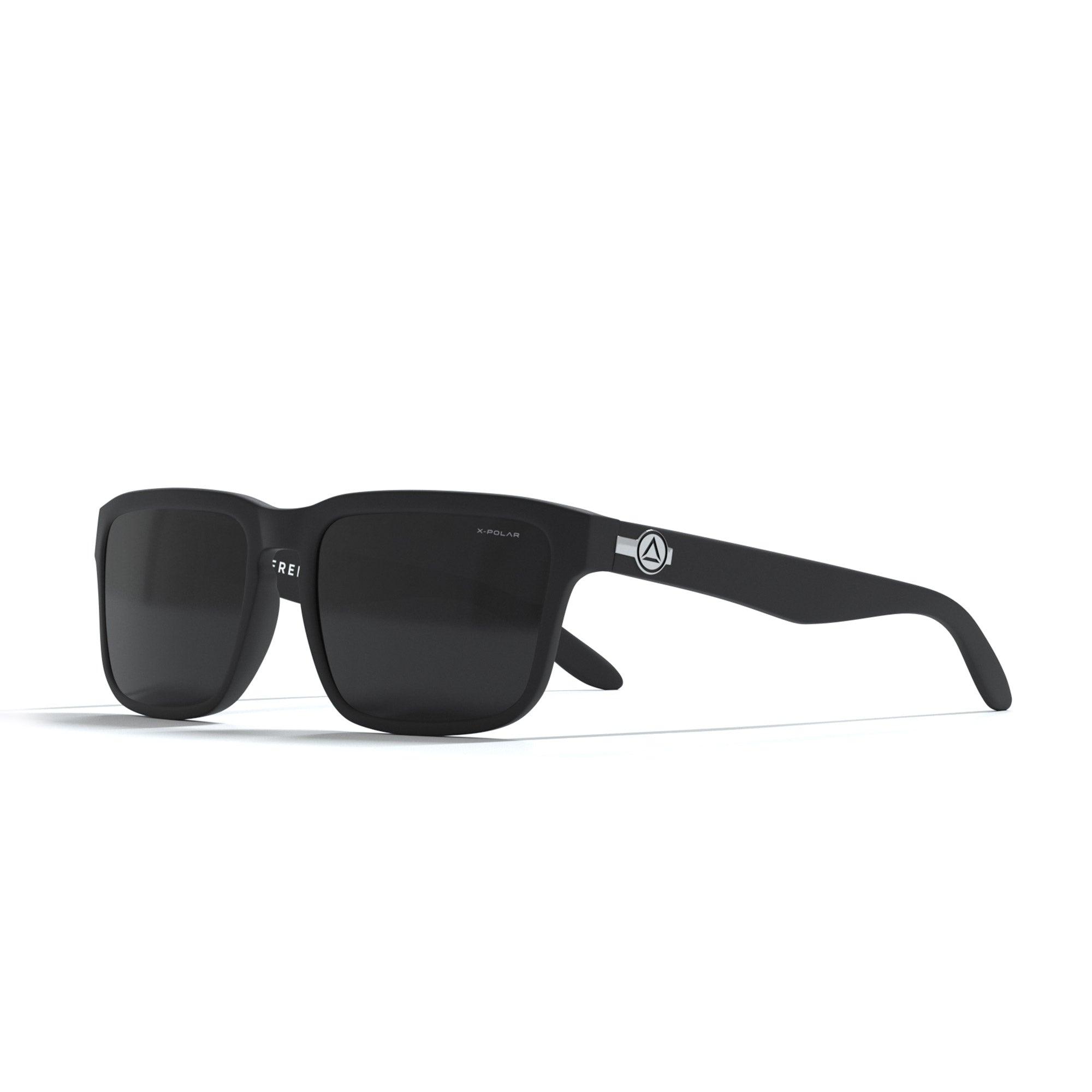
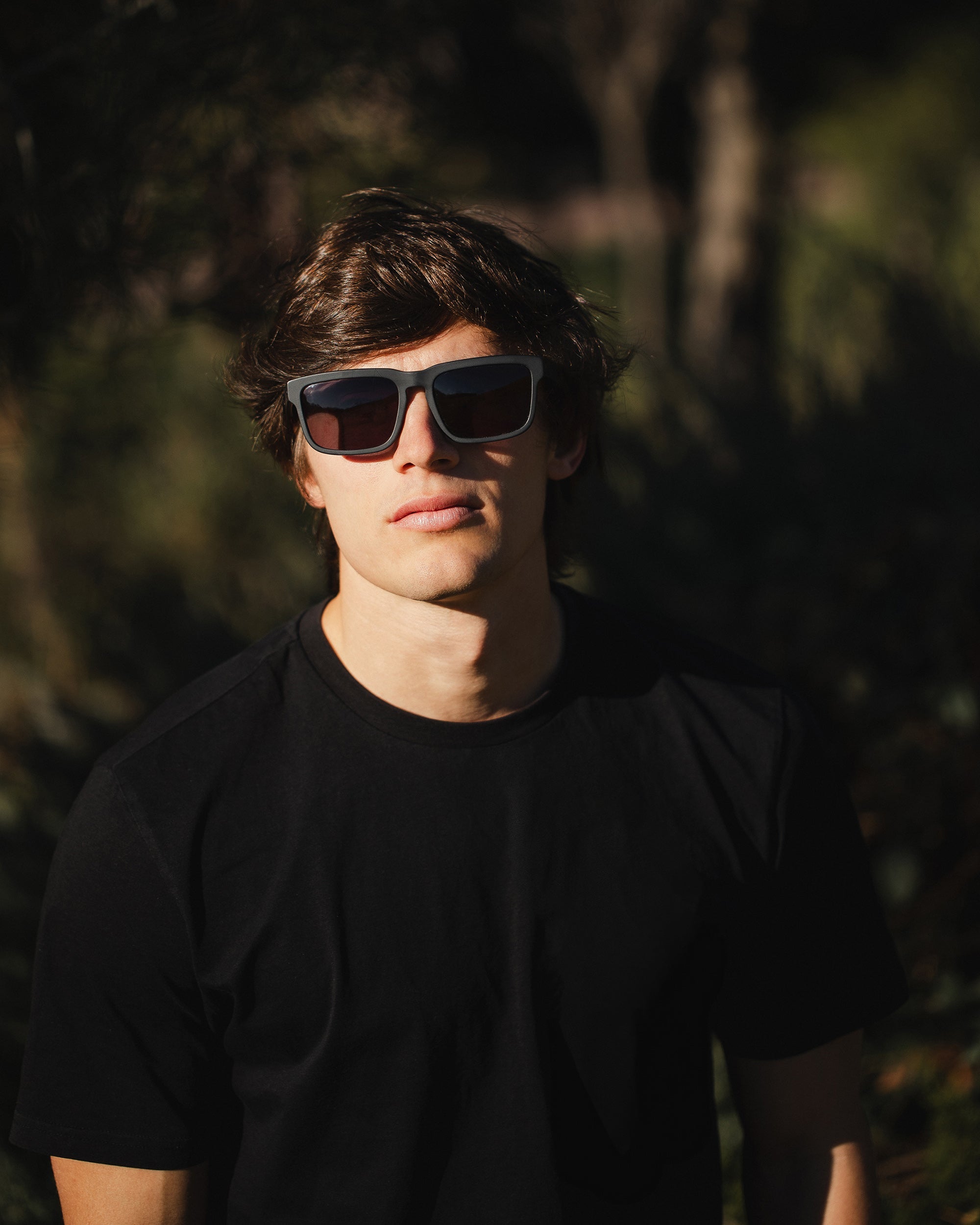
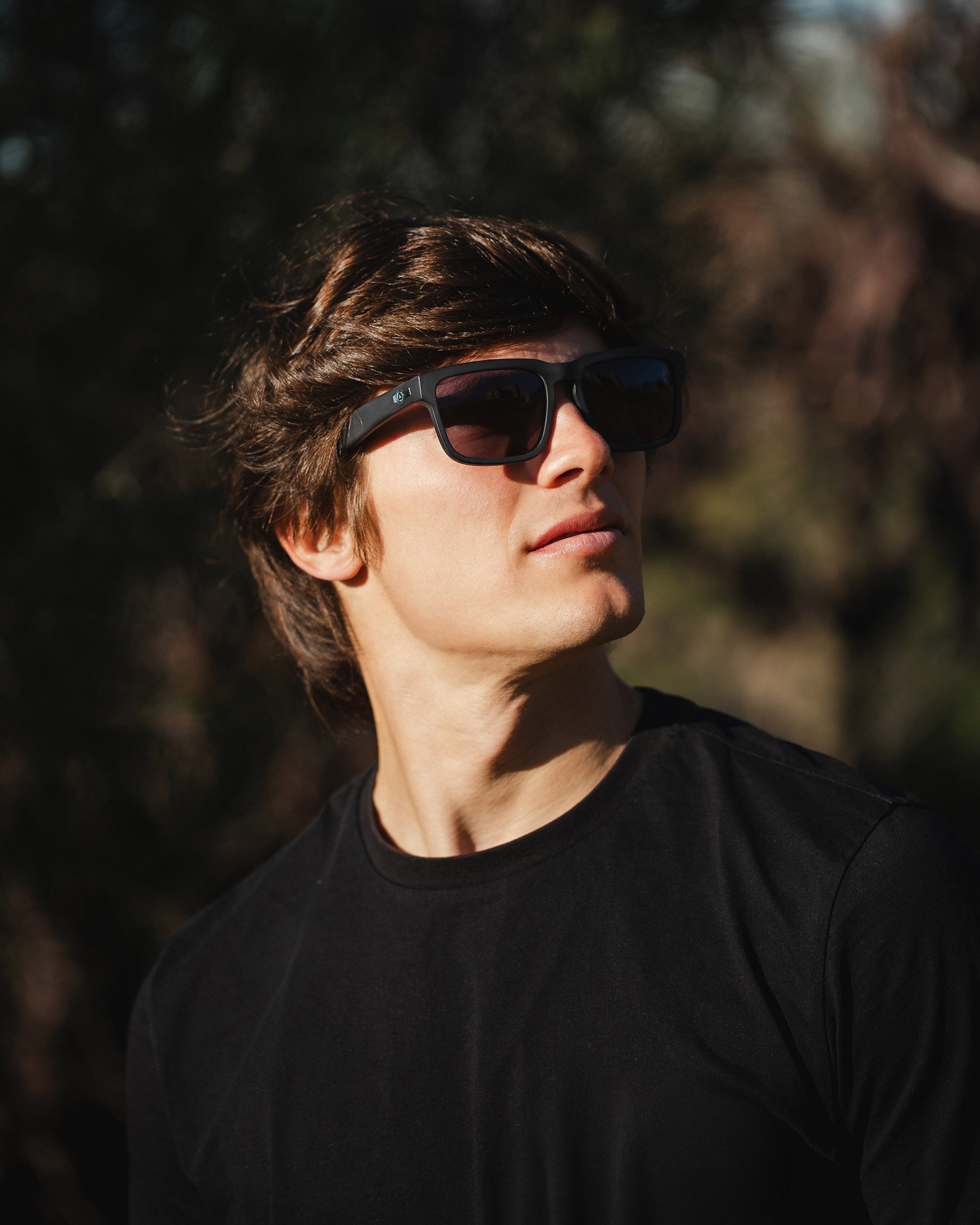
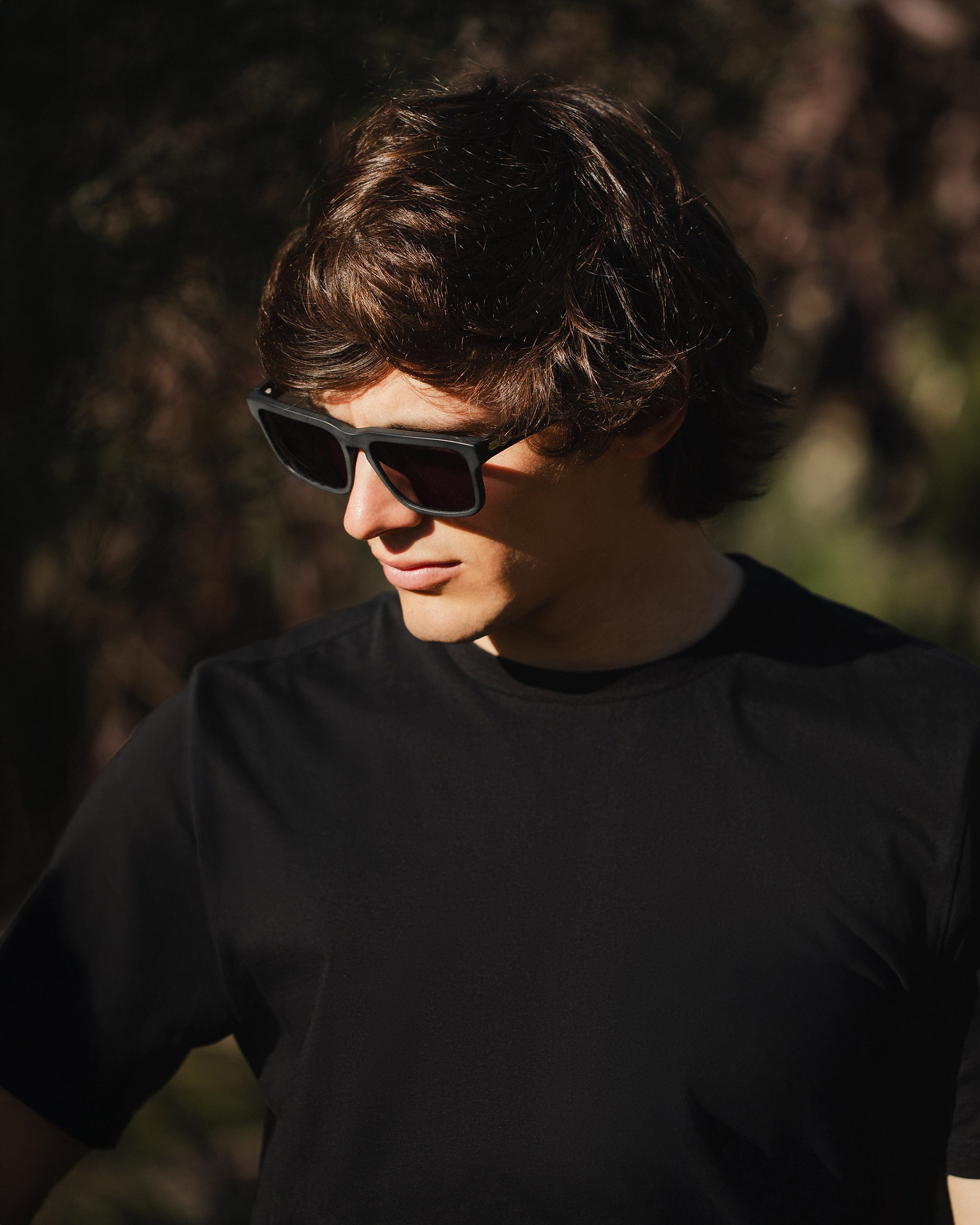
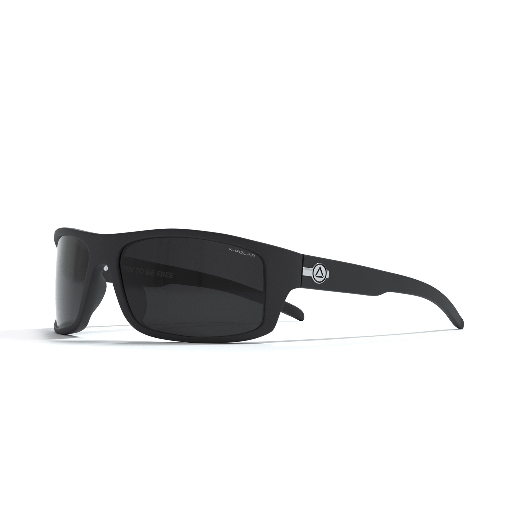
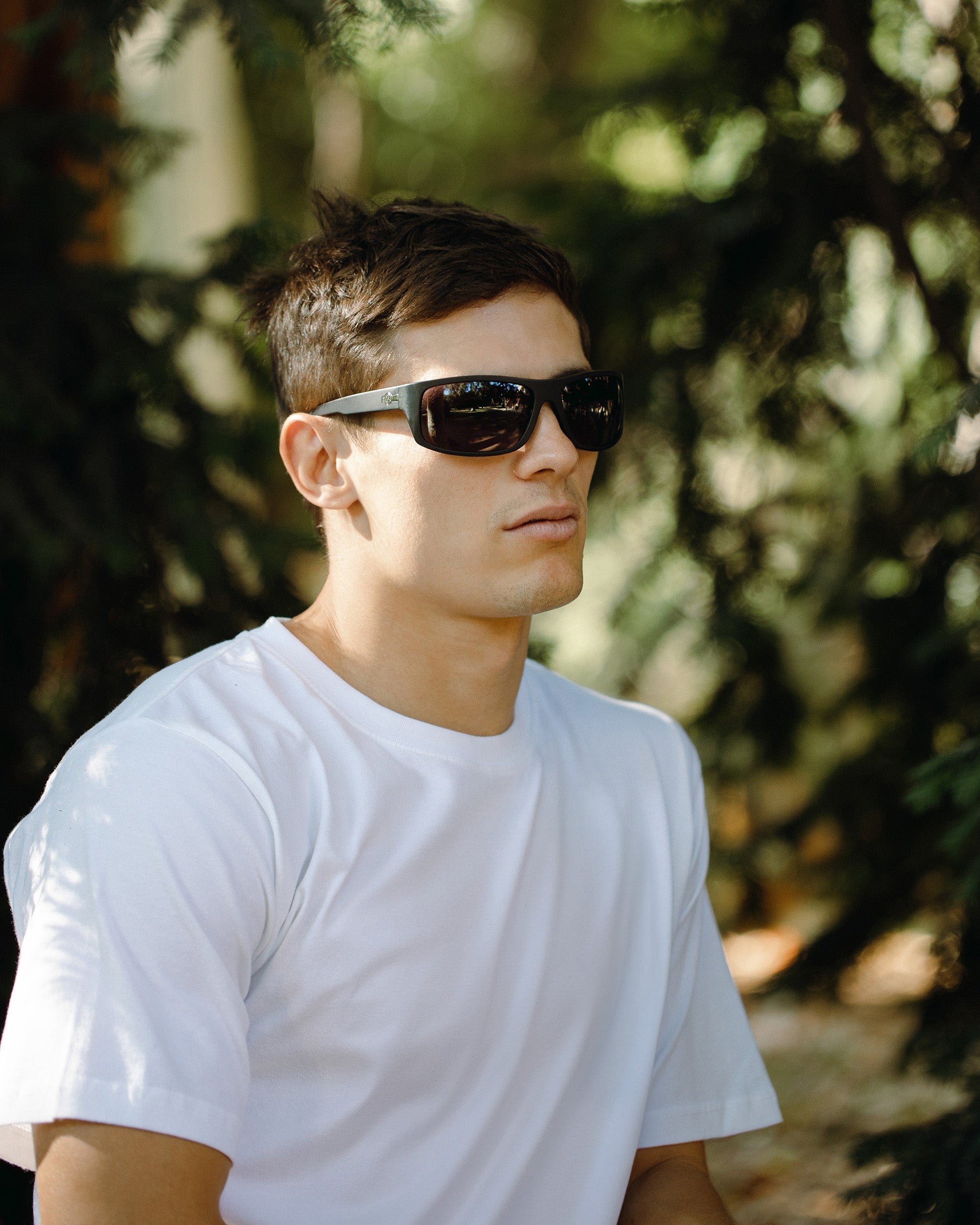
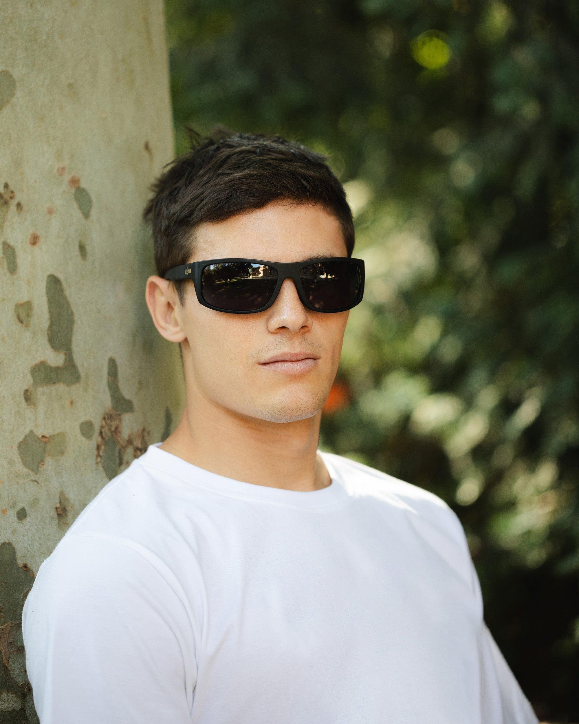
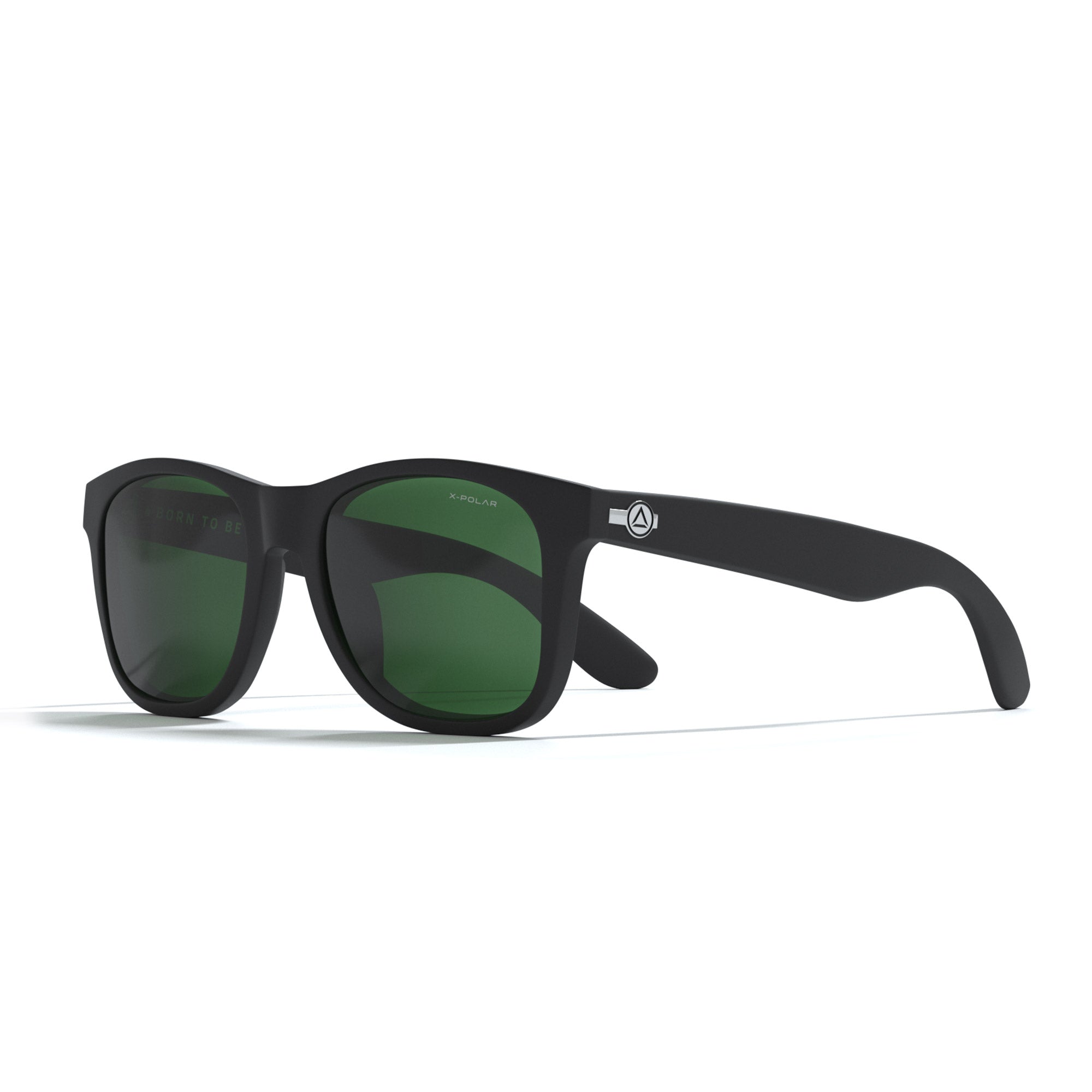
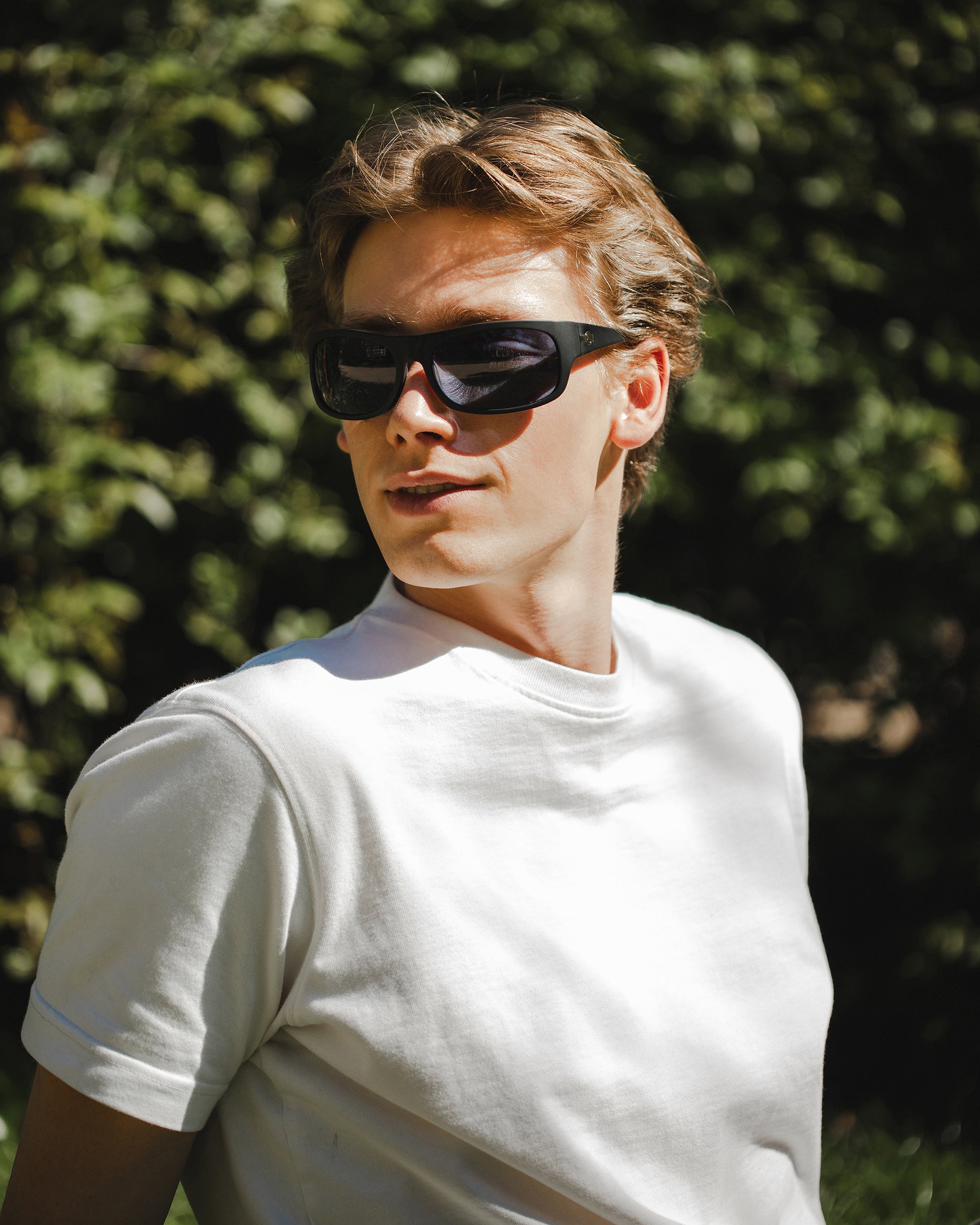
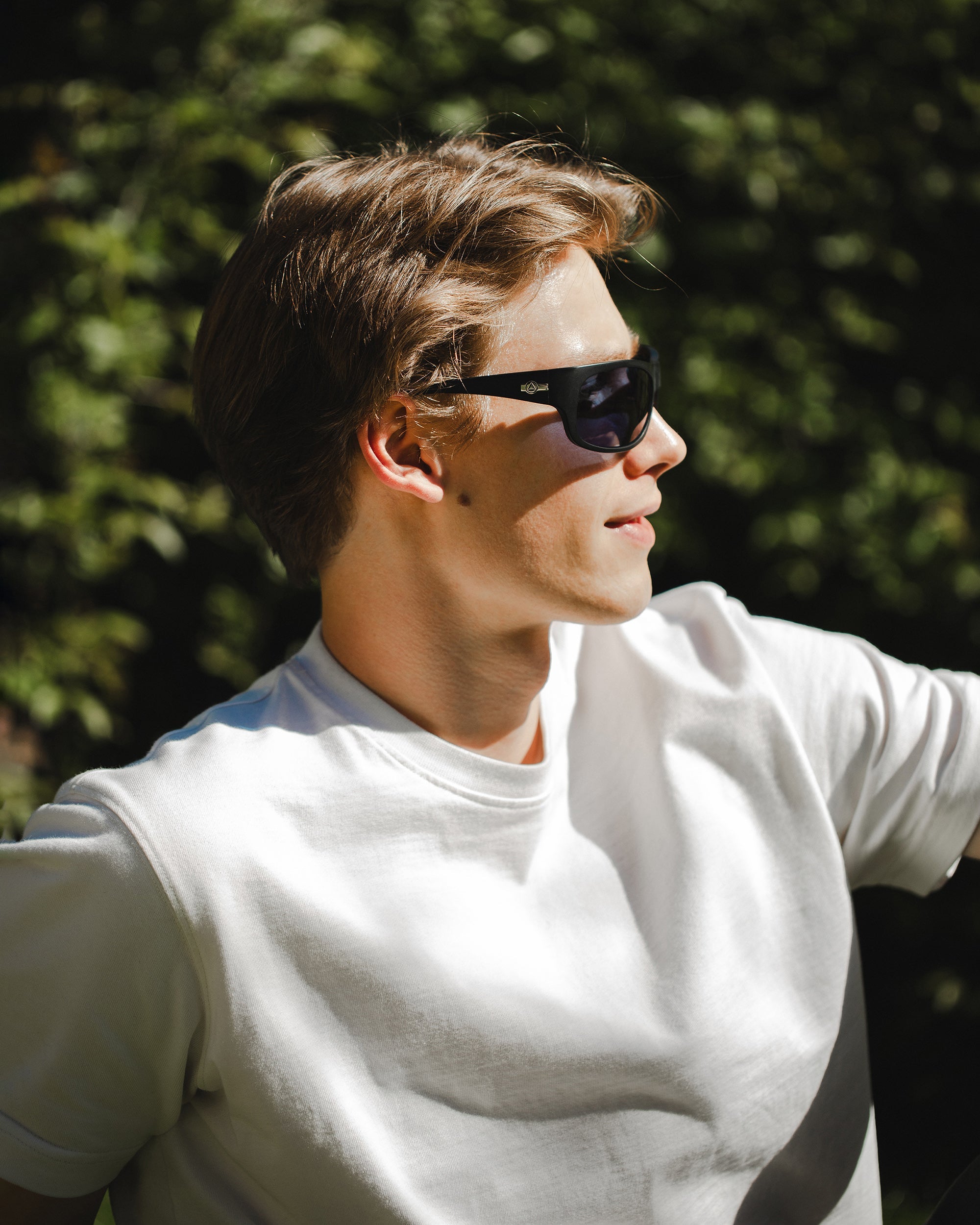
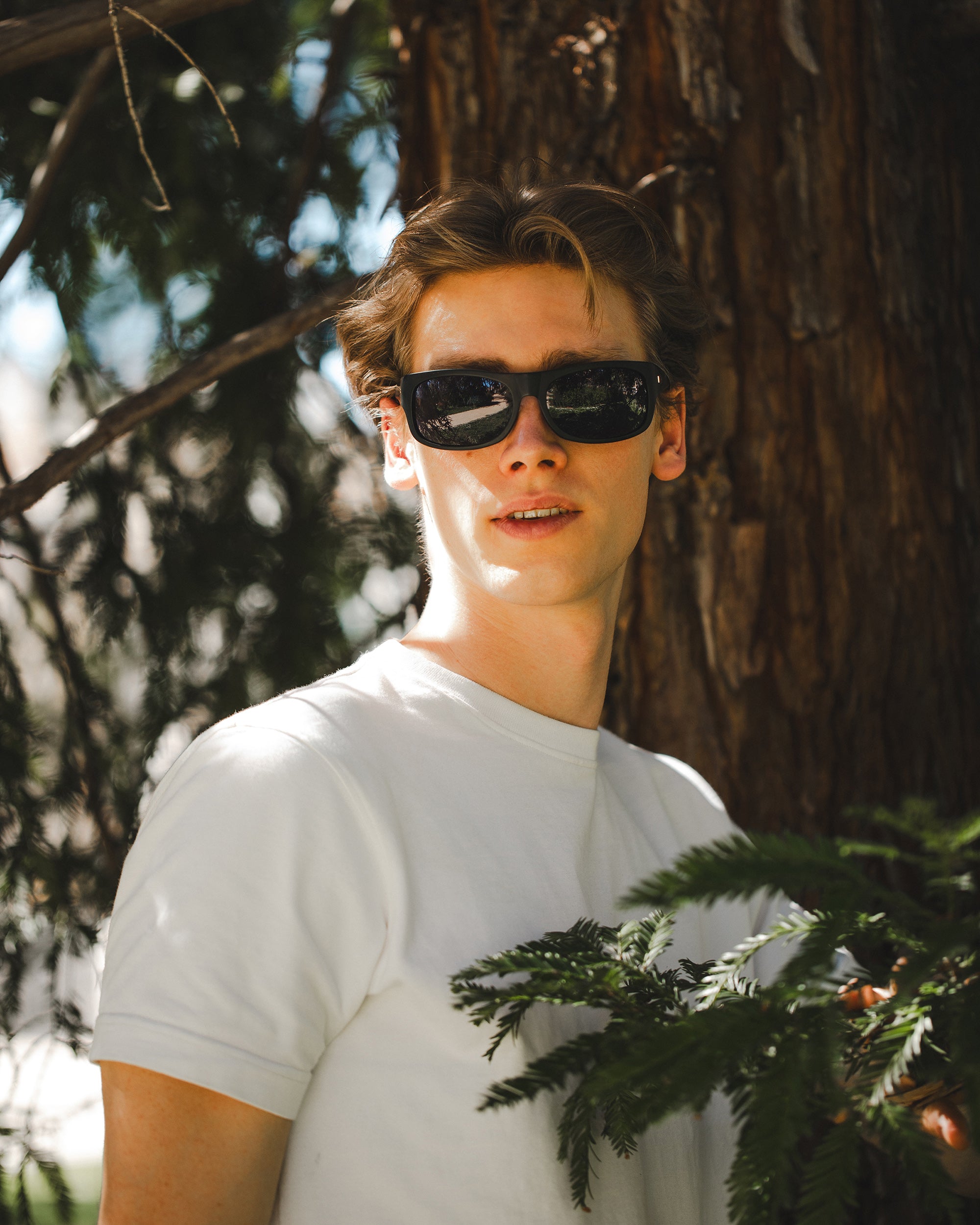
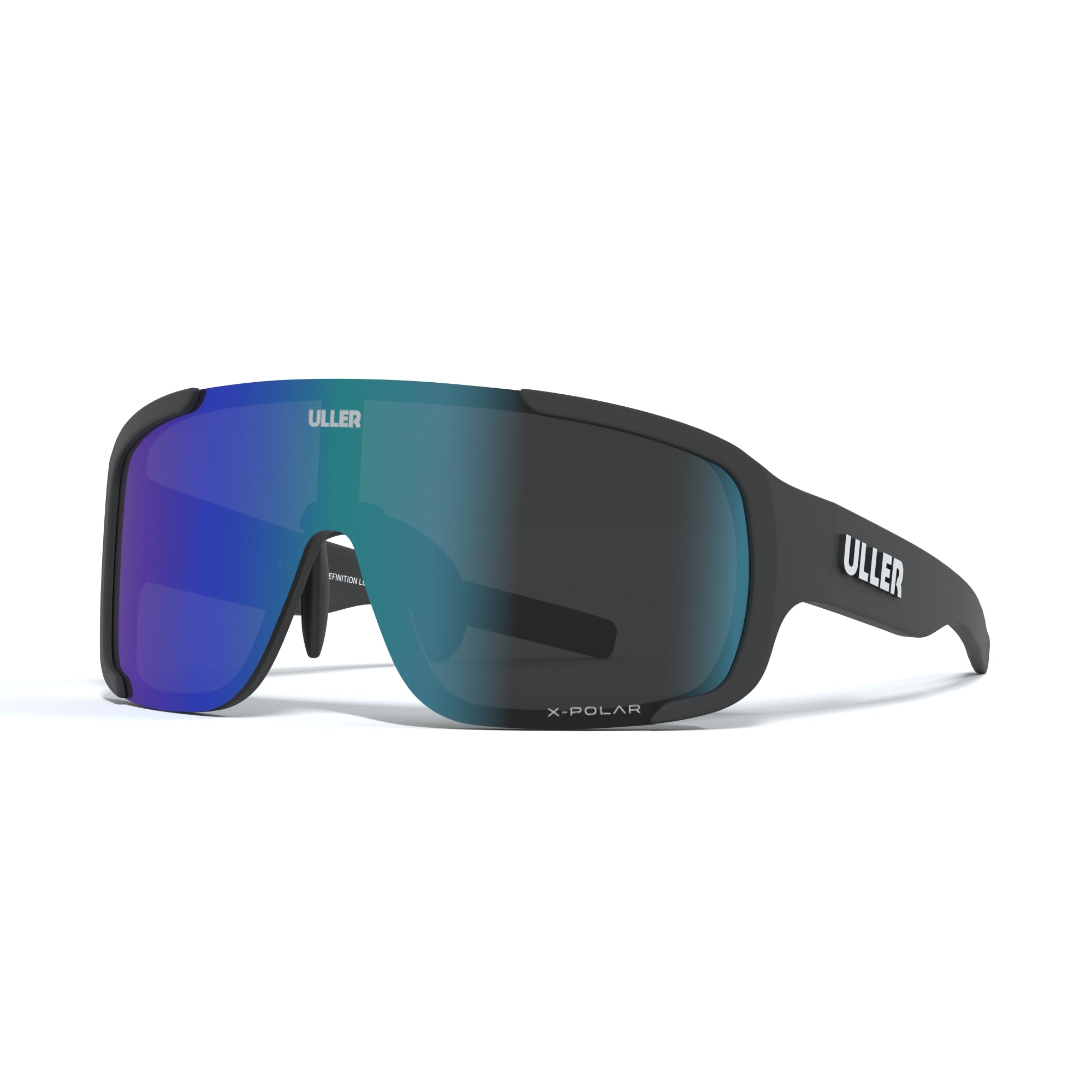
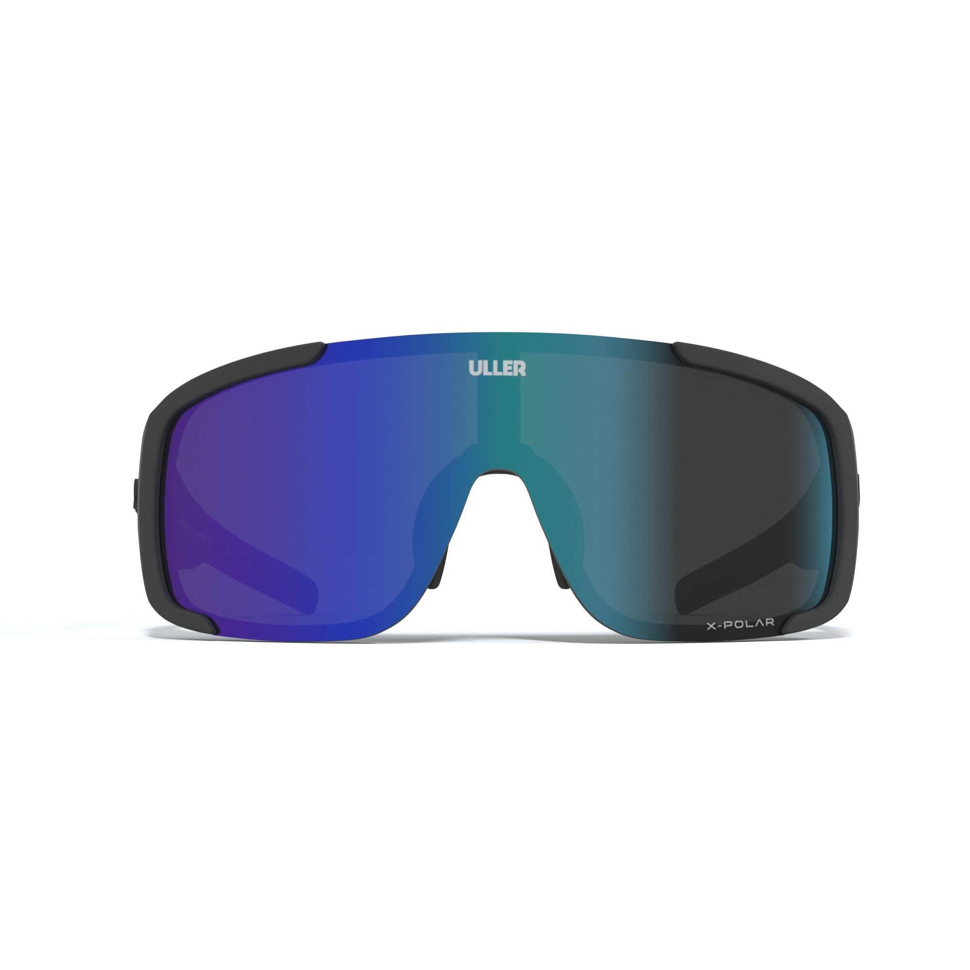
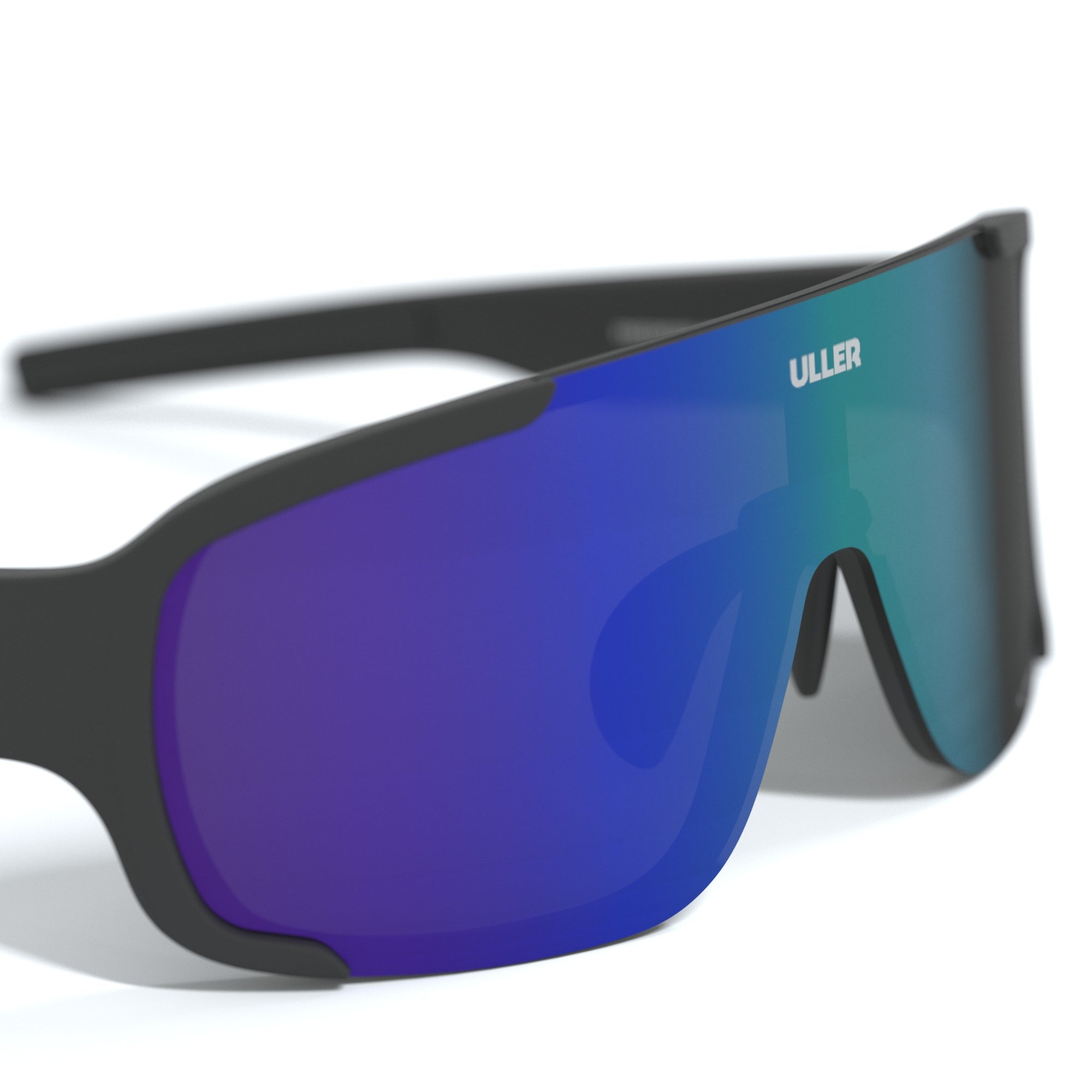
MTB glasses:
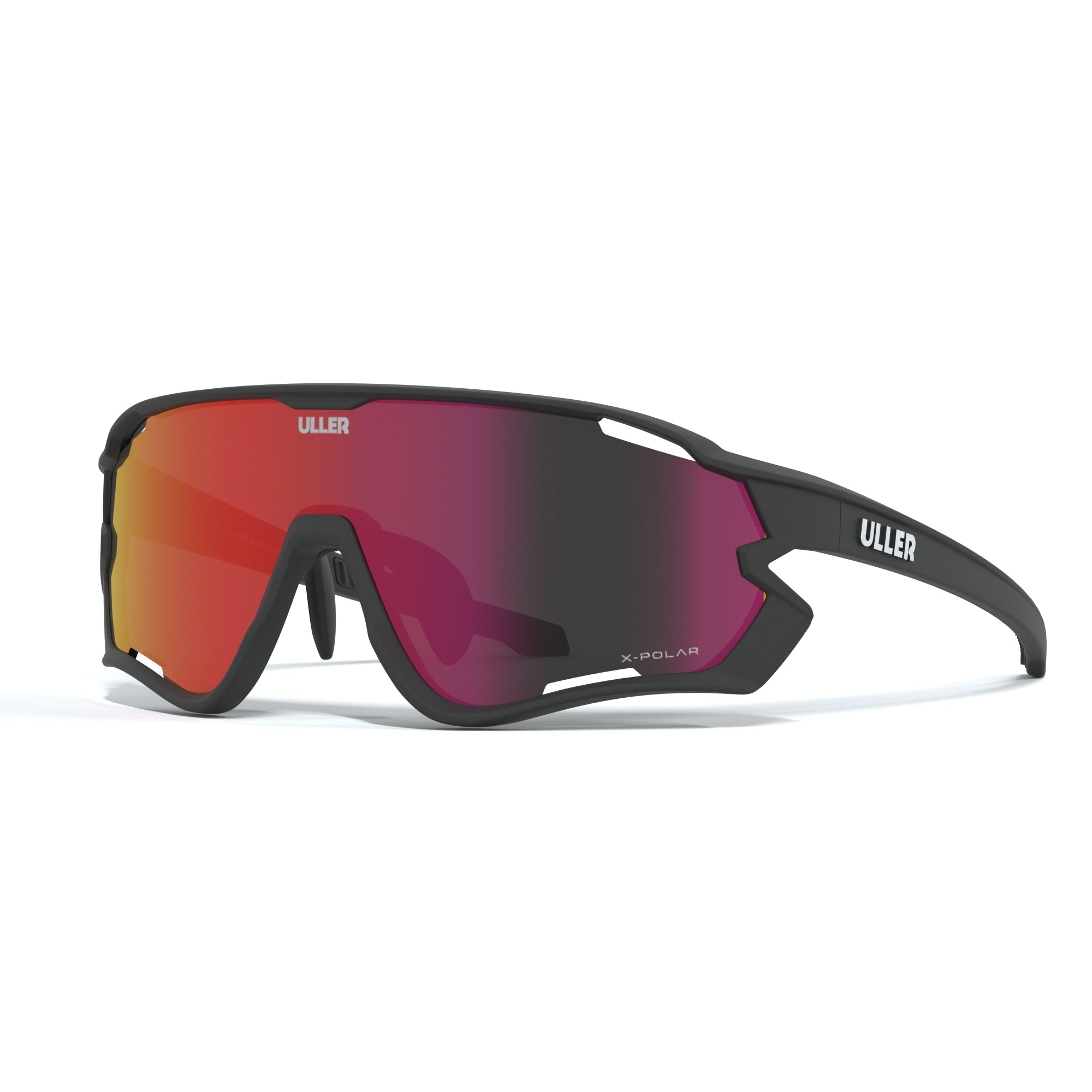
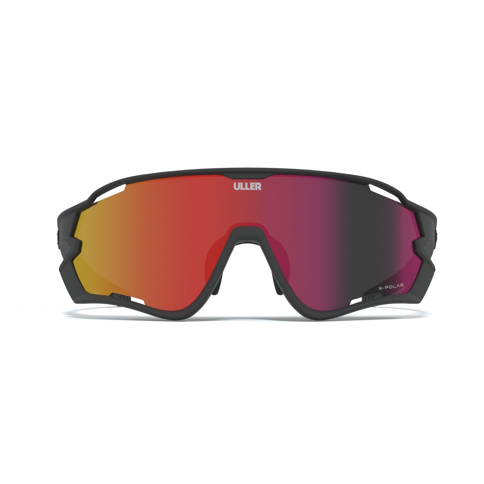
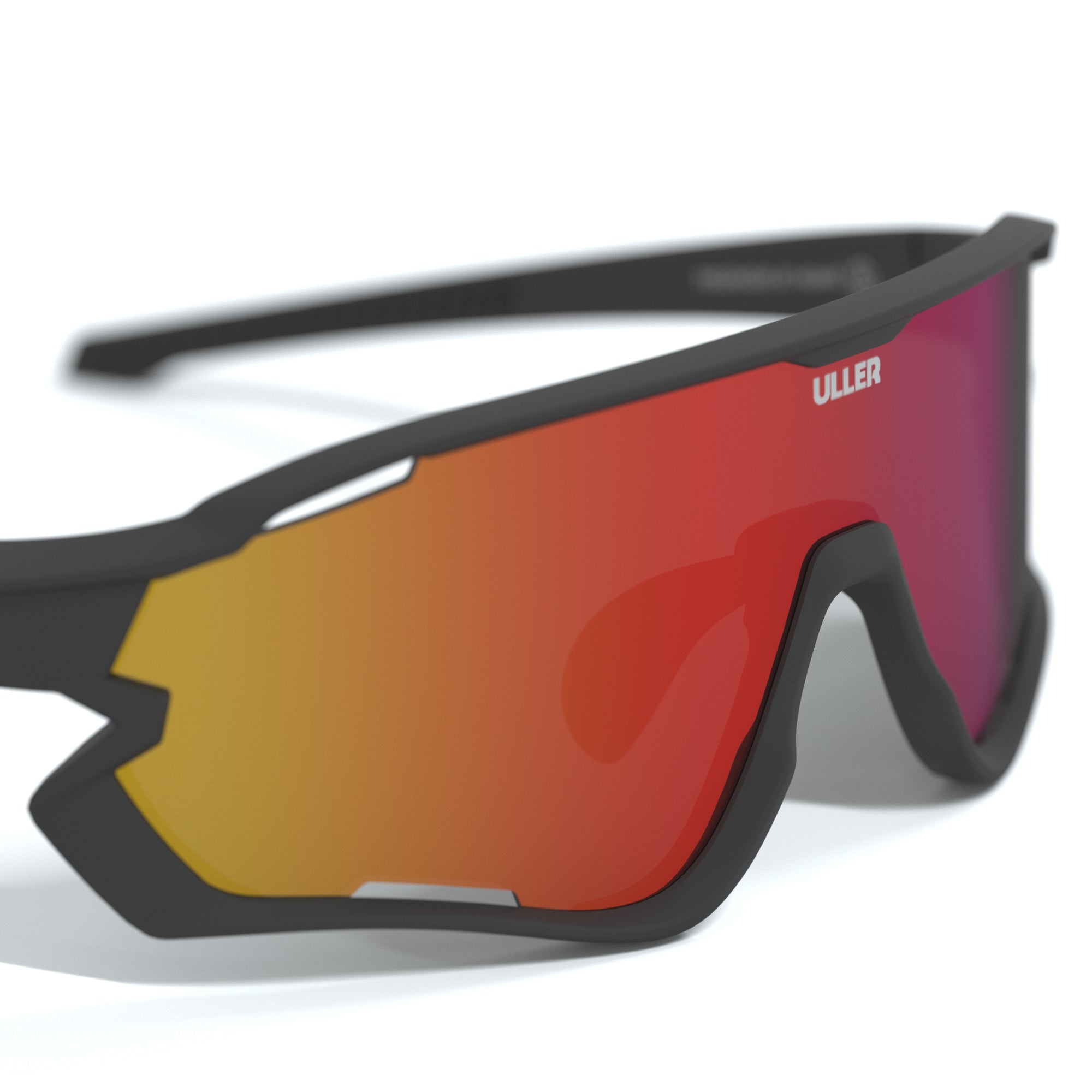
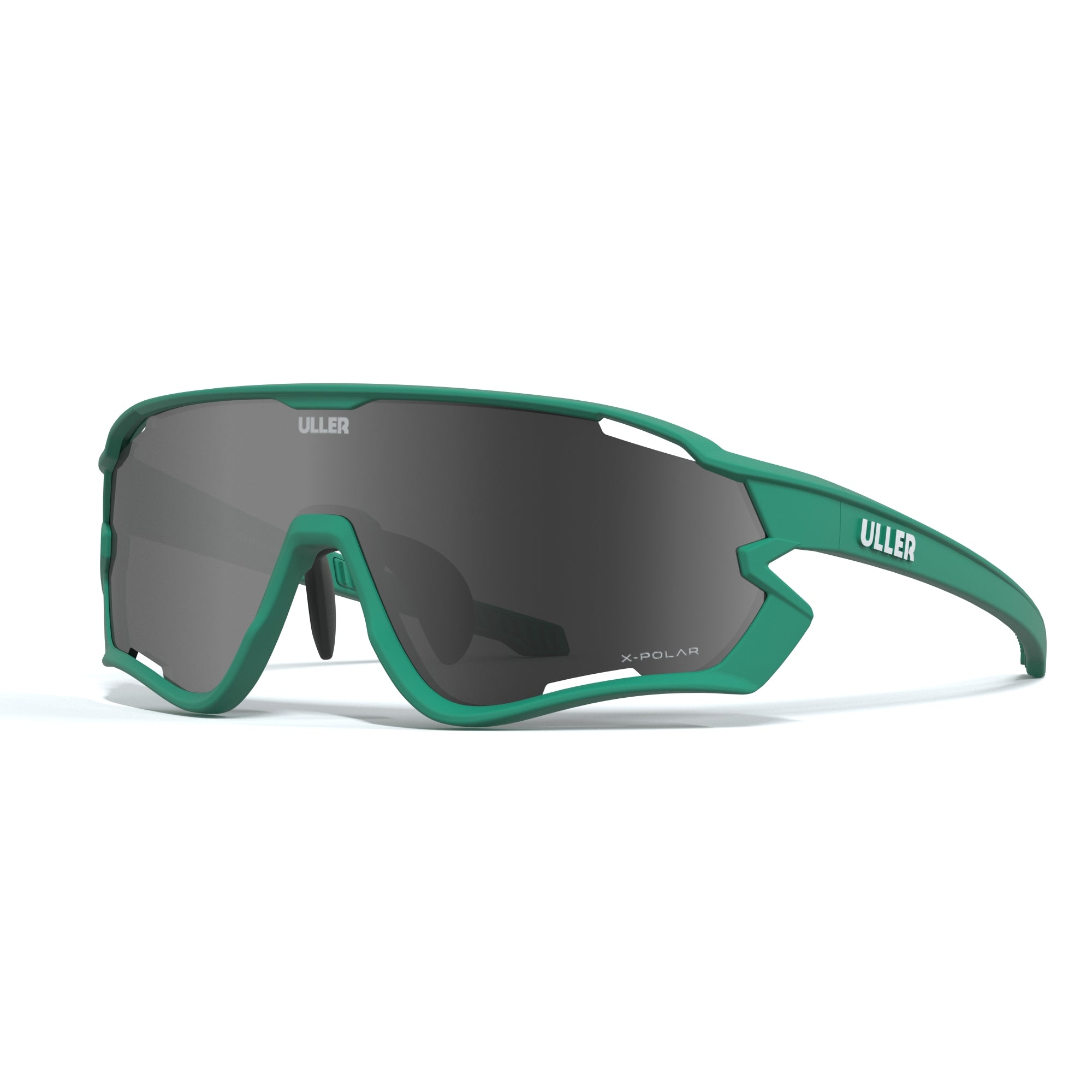
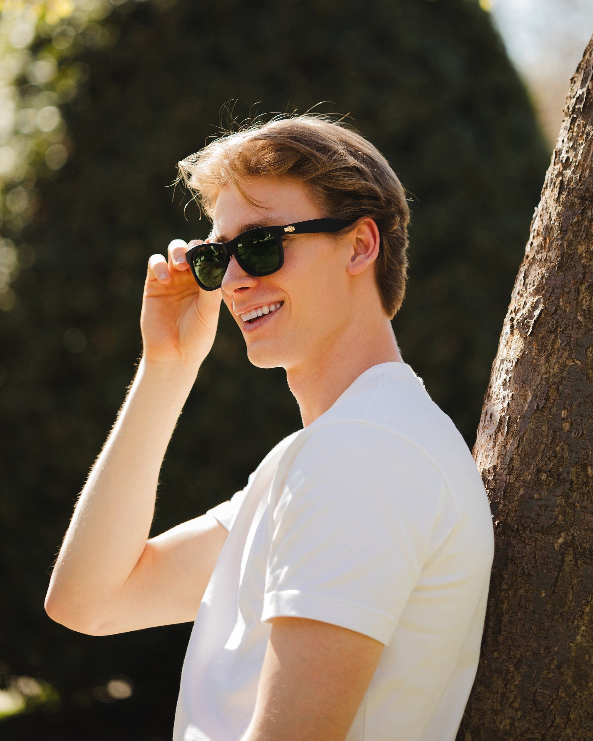
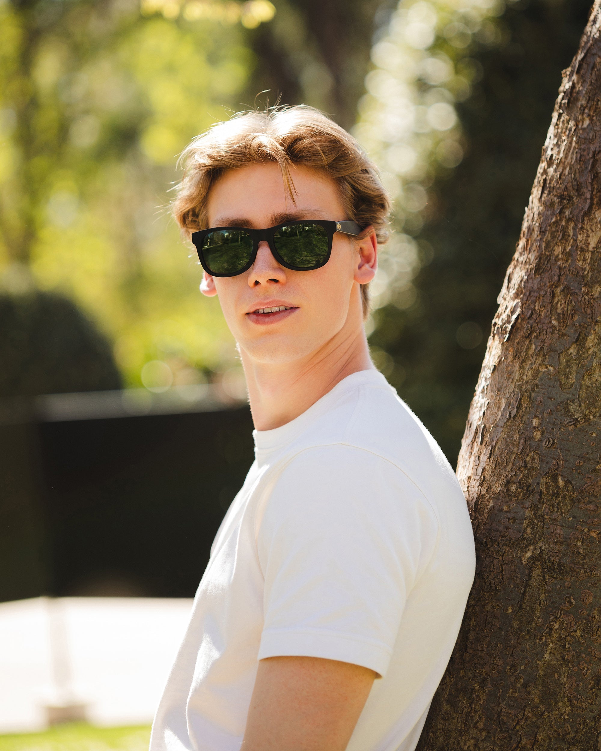
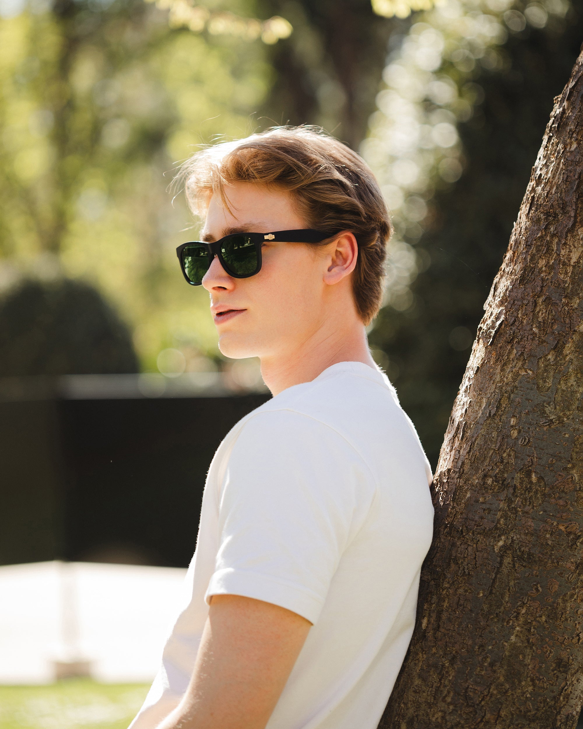
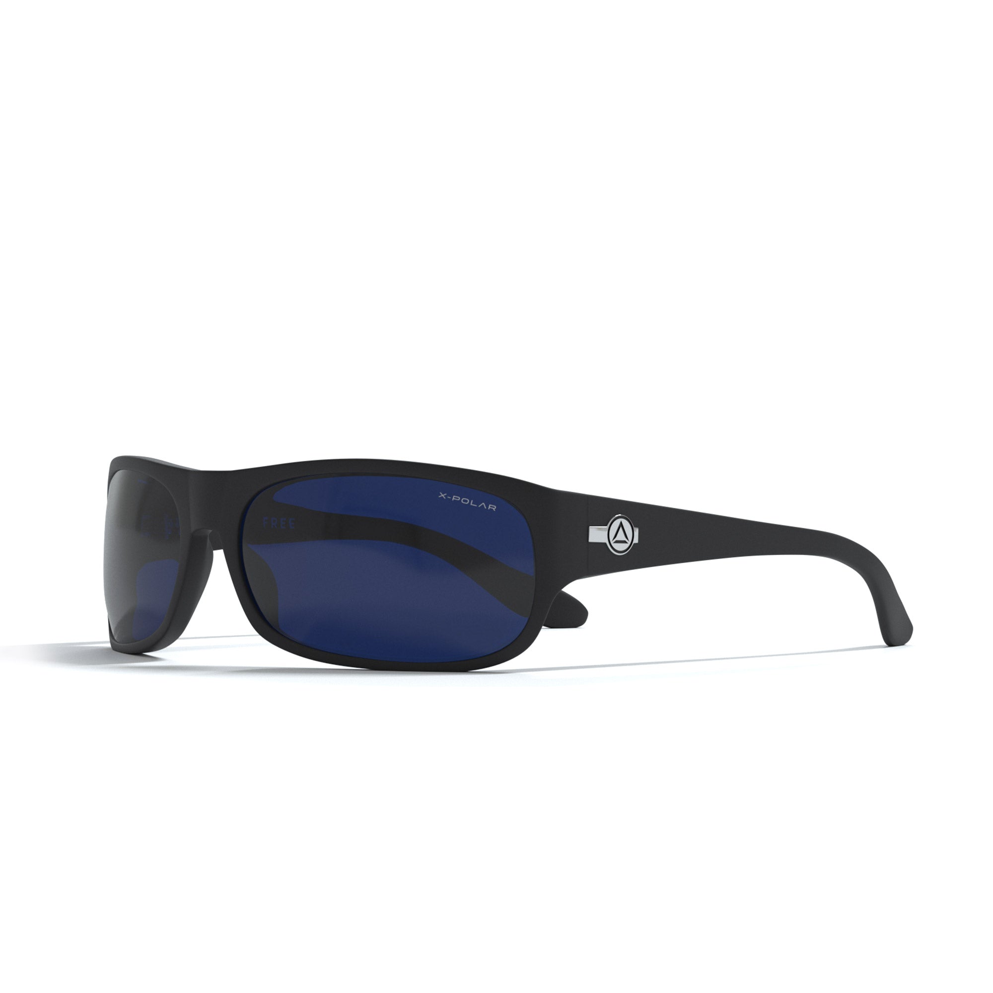
When you do sports, you not only have to protect your eyes from the sun's rays, but also from the possible impacts of stones or debris that can jump on the road or in the mountains. In addition, in speed sports such as cycling, you also need to protect yourself from the wind that continually hits your eyes. In our sports optics brand Uller we have an infinite number of models and collections of sports sunglasses that are characterized by being resistant and withstanding impacts. In addition, its flexibility and ergonomic design help the glasses to better adapt to the athlete's face. They have lenses that are also prepared to withstand bumps and scratches.
MTB helmet:Choosing a model within the range of bicycle helmets is a particularly sensitive issue, since it is the most important safety element. When choosing a bike helmet we must take into account aspects such as aerodynamics, ventilation or comfort, things get even more complicated. Things to keep in mind when choosing your helmet:
- The shape or design of the helmet: Look at the front line to consider visibility. The posture on a MTB or a road bike is totally different, therefore, its design must be valued.
- Ventilation: Look at your helmet from the front, put the helmet between you and a colored wall. If when you look at it you see the color of the wall through the holes, it means that the air has well-designed holes to both enter and exit. A more open helmet means better ventilation, but not necessarily better aerodynamics, assess whether you need ventilation or you are more of a stopwatch and opt for aerodynamics. The normal and common thing is that ventilation prevails, something essential to avoid heat.
MTB bike:
With the advancement of technology, electric bicycles (electric MTB) have ceased to be a rarity to become commonplace on streets and trails. Although a few years ago many cyclists were opposed to trying them, now more and more are highlighting the advantages of electric MTBs, among them we highlight some such as:
- The climbs are smoother. You can enjoy those beautiful routes that sometimes you consider doing because you know that there are hard slopes.
- You do more kilometers in less time. If you like to discover new areas, with an electric MTB you will discover more in less time.
- Electric MTB is the best cross training for injury or recovery.
- You set the pace of your route.
We are passionate about Mountain Biking and we are sure that you are too. Also, as you can see, Spain is an ideal place to practice this sport. We hope that our advice will help you take your bike and conquer the world!